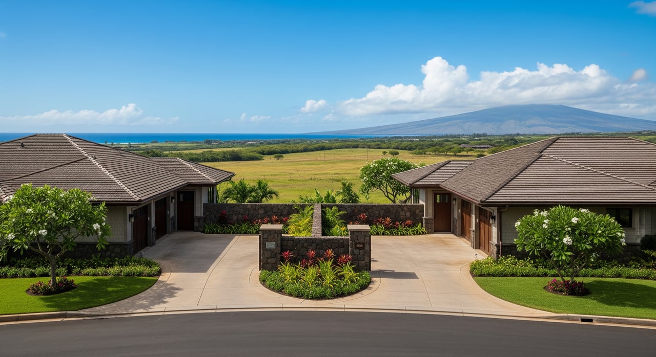
What is oceanfront acreage near Pe‘ahi Farms really worth today? If you are eyeing a cliff-top parcel with sweeping views or considering listing a coastal holding in 96708, the answer depends on more than the total acres on your deed. You need to weigh shoreline type, buildable land, permits, hazards, and infrastructure. This guide breaks down the practical valuation drivers and due diligence steps so you can make clear, confident decisions. Let’s dive in.
Key value drivers in 96708
Shoreline type and frontage
Not all ocean frontage is equal. Sandy beach frontage typically trades at a premium because it is usable and easier to access. Cliff or rocky frontage can deliver dramatic views but may limit where you can safely build and increase erosion risk. In the Pe‘ahi area, very large winter surf brings high wave energy that factors into wave run-up and long-term shoreline retreat.
Buildable area vs. gross acreage
Appraisers focus on the portion you can actually develop, not just the total acreage. Steep slopes, sea cliffs, lava rock, wetlands, and setbacks reduce the buildable envelope. Expect pricing to reflect net developable land and safe building locations rather than surface area alone.
Coastal hazards and sea-level rise
Risk from erosion, storm surge, and tsunami inundation influences both value and insurability. Many buyers and planners evaluate mid to long-term sea-level rise scenarios when judging future utility. Even modest projections can affect how you price low-lying or exposed shoreline segments.
Soil, geology, and slope stability
Lava substrate, fractured rock, or unstable slopes may require specialized foundations or limit development altogether. A geotechnical assessment can confirm feasibility and help you budget for site work that may be material to price.
Views, access, and privacy
Protected view corridors, reliable access to the shoreline, and privacy are common premium drivers. Public shoreline access rights apply below the shoreline, so value rests on the utility and enjoyment of your land while respecting public trust principles.
Legal and regulatory constraints that impact price
State land use and Conservation District
Some shoreline parcels fall within the State Conservation District, which has strict limits on development. Projects can require a Conservation District Use Application, which adds time and uncertainty.
Maui County SMA and shoreline rules
Most coastal work in 96708 requires Special Management Area review. Shoreline setbacks can push homes inland, and permits for coastal armoring such as seawalls are highly regulated and often discouraged. These controls can limit siting and future protection options.
Public shoreline access
Hawaii law protects public access below the shoreline. You cannot assume exclusive control of the shore. Confirm boundary lines, public access easements, and any coastal paths during due diligence.
Cultural and archaeological protections
Archaeological inventory surveys and consultation are often required before ground disturbance. Discovery of cultural sites or Native Hawaiian burials can halt or reshape plans. Factor this into both timelines and pricing.
Wastewater and cesspool rules
Rural coastal parcels often rely on septic or existing cesspools. Hawaii programs require cesspool upgrades on timelines that affect development costs. Confirm septic feasibility and budget for upgrades.
Short-term rental regulations
Maui County’s evolving STR rules affect income potential. If a property cannot obtain or transfer a valid permit, that constraint is a value factor for buyers who prioritize rental revenue.
Infrastructure and services that move the needle
Water supply
Many north shore parcels do not have County water. Private wells or rain catchment are common. Water availability, rights, or well feasibility can be a make-or-break item for value and subdivision potential.
Roads and access
Private roads, shared driveways, and easements are common. Costs to improve access, acquire easements, or meet County standards for subdivision can be significant.
Utilities and telecom
Electrical extensions, transformers, and telecom service can add sizable capital costs in rural settings. Wastewater solutions and potential upgrades must be addressed upfront.
Insurance and financing
Coastal wind and flood exposure may limit insurance options or increase premiums. That can influence loan approvals and net value for both buyers and sellers.
How appraisers approach oceanfront acreage
Sales comparison approach
This is the primary method when relevant comps exist. Adjustments account for frontage type, usable building area, utilities, access, view quality, and regulatory constraints. With limited transactions, spreads can be wide.
Cost approach
Useful when you expect to build soon and have solid estimates for site work and structures. For raw, unique shoreline sites, it is often less definitive than sales comparisons.
Income approach
If the highest and best use includes permissible STRs or agricultural leases, income can inform value. For subdivision concepts, pro forma modeling can estimate land residual value after buildout costs and developer profit.
Highest and best use analysis
Before numbers matter, legal and physical feasibility must be confirmed. Depending on zoning and terrain, the property may pencil best as a single-family estate, a subdivision, conservation land, or agricultural use.
Practical adjustments to expect
- Conversion of gross acres to net developable acres for pricing.
- Discounts where access or utilities are absent or costly to secure.
- Risk adjustments for erosion and sea-level rise that lower effective useful life.
- Value impacts from STR restrictions if income potential is limited.
- Premiums for long, private-feeling frontage with reliable access and preserved views.
Step-by-step due diligence for buyers and sellers
Pre-offer or pre-listing
- Confirm the parcel’s legal description and location with County records.
- Pull County zoning, State land-use district, SMA status, and any shoreline designation.
- Review recent true oceanfront acreage sales for market context.
- Gather existing surveys, studies, well logs, tax statements, and permit history.
- Engage a local real estate attorney and an appraiser experienced in Maui coastal property.
Technical studies during contingencies
- Order a boundary survey and obtain topographic data to map elevations and building envelopes.
- Commission geotechnical and environmental reports to evaluate buildability and risks.
- Complete archaeological inventory survey and consult with the appropriate agencies as required.
- Confirm water source feasibility and wastewater strategy, including necessary upgrades.
- Obtain insurance quotes and verify lender requirements early.
Permitting path and feasibility
- Determine whether Conservation District or SMA permits are required.
- Confirm setbacks and understand limits on shoreline hardening.
- If considering subdivision, model lot sizes, road standards, and timelines that may extend years.
- Plan for cultural resource mitigation if applicable.
Cost items to budget
- Upfront: surveys, geotech, environmental, archaeological, title, escrow, and legal fees.
- Capital: roads, utility extensions, wells, septic systems, and site stabilization.
- Ongoing: property taxes, insurance, and private road maintenance.
- Potential mitigation: cultural site preservation or conservation easements that bring restrictions and possible incentives.
Pricing scenarios near Pe‘ahi Farms
Single-family estate on cliff frontage
Expect value to hinge on a safe building envelope, reliable access, and utility costs. The absence of County water or complex foundations can push pricing down relative to gross acreage impressions.
Subdivision potential on larger tracts
Subdivision can drive the highest land value but only if zoning, infrastructure, and permitting align. Multi-year timelines and added capital costs reduce today’s land value, so accurate pro forma work is essential.
Conservation or low-intensity use
For parcels with heavy constraints or significant cultural resources, conservation or agricultural uses may be the most realistic path. Pricing reflects limited improvements and longer holding horizons.
How to position your property or offer
- Lead with verified data. Provide surveys, geotech, archaeologic reports, and clear utility information.
- Frame value by buildable area and permitted uses, not total acres.
- Address hazards and insurance early to reduce buyer uncertainty.
- If STR income is important, present current rules and what is realistically obtainable.
Work with a local, systems-driven team
Oceanfront acreage near Pe‘ahi Farms is scarce and complex. You deserve guidance that balances local knowledge, rigorous due diligence, and polished marketing that reaches qualified buyers. If you are considering a purchase or planning a sale, we can help you clarify highest and best use, assemble the right experts, and price with confidence. Connect with Josh Jerman for a confidential consultation and property valuation.
FAQs
How are oceanfront premiums determined in 96708?
- Premiums depend on frontage type, usable building area, access, utilities, view quality, and regulatory risk, with limited comps leading to wider pricing ranges.
Can I build close to the cliff near Pe‘ahi Farms?
- Usually not. Shoreline setbacks, erosion risk, SMA rules, and geotechnical constraints typically require homes to be sited farther inland.
Will I be allowed to install a seawall to protect a home?
- Coastal armoring is heavily regulated and often discouraged or denied, so you should not assume future shoreline hardening will be permitted.
What are the biggest hidden costs with coastal acreage?
- Water supply solutions, septic or cesspool upgrades, road and access improvements, specialized foundations, and higher insurance premiums are common.
Do Maui’s short-term rental rules affect land value?
- Yes. If STR permits are not allowed or transferable, limited income potential can reduce value for buyers who prioritize rent revenue.
How should I factor sea-level rise into my decision?
- Use long-term scenarios, combine them with site-specific elevation and erosion analysis, and adjust value to reflect a shorter useful life where appropriate.